Share this:
- Share on LinkedIn (Opens in new window) LinkedIn
- Print (Opens in new window) Print
- Share on Reddit (Opens in new window) Reddit
- Share on X (Opens in new window) X
- Share on Facebook (Opens in new window) Facebook
- Share on Pinterest (Opens in new window) Pinterest
- Share on Tumblr (Opens in new window) Tumblr
- Email a link to a friend (Opens in new window) Email
This entry was posted on March 15, 2019 at 12:10 pm and is filed under photo. You can subscribe via RSS 2.0 feed to this post's comments. Both comments and pings are currently closed.
3 Comments on “”
Comments are closed.

March 15, 2019 at 12:10 pm
William Shakespeare Quote
March 15, 2019 at 5:54 pm
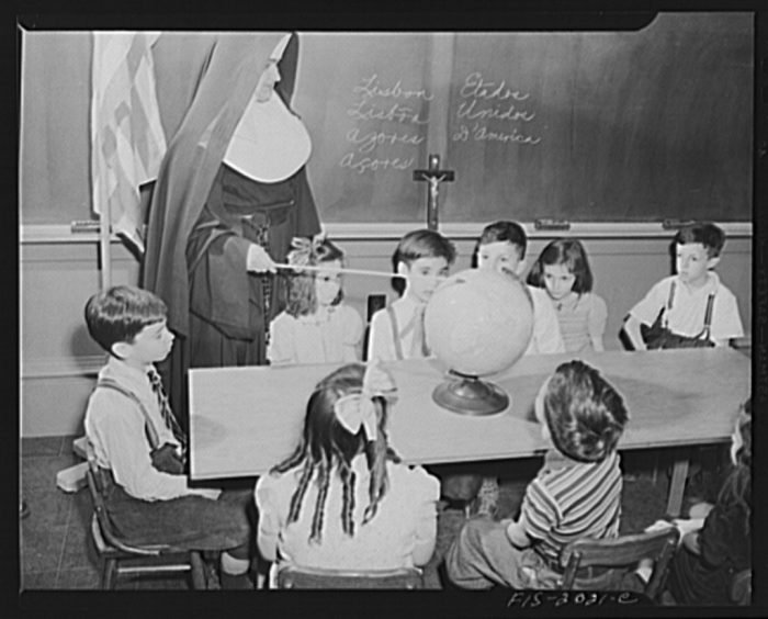
A globe is a wonderful learning tool. Almost all the classrooms I attended had a Mercator projection view of the world which was rolled up above the blackboard and could be pulled down during Social Studies classes. It gave our young minds a false view of the political realities by placing the Americas in the middle and dividing Eurasia into two pieces with Europe on the right side across the Atlantic and Asia on the far left across the Pacific.
Until I saw a North Polar projection map did the fact that we were not at the center of the world and that Eurasia was a huge landmass with vast population and resources.
March 15, 2019 at 7:24 pm
Bob,
My classrooms also had the rolled up maps. Some were the topography. I remember the brown mountains. We also had the world map the same as you had. I never thought of us as the center of the world mostly because South and Latin America were right by us.